





UN vote gives Africa rightful size on world map
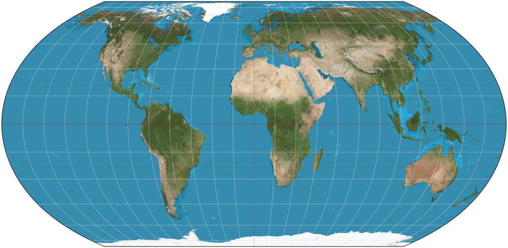
Equal Earth projection - Image created with the Geocart map projection software (CC BY-SA 4.0)
An African-led campaign against the dominance and ‘cartographic colonialism’ of the Mercator projection of the world map has won overwhelming backing at the United Nations after centuries of maps that visually diminished the continent
In a historic vote, the United Nations has backed an African-led campaign to move the world away from the Mercator projection – the centuries-old map that has distorted how the world sees Africa, in favour of the Equal Earth projection, developed in 2018, which far more accurately preserves the relative area of continental landmasses.
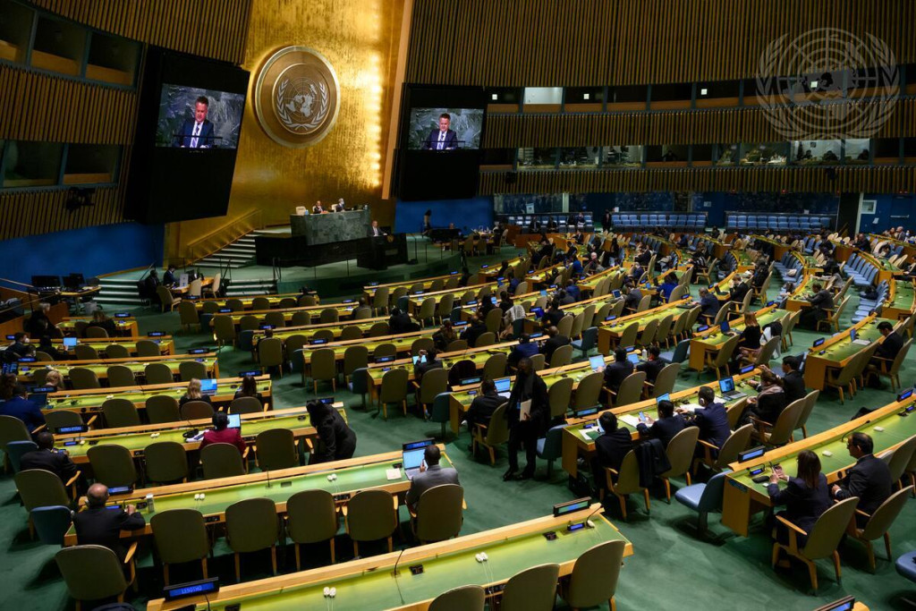
The UN General Assembly voted by 164 votes to one, with six abstentions, to encourage governments, schools, international organisations, and technology companies to adopt maps that more accurately represent the relative size of continents. The resolution was spearheaded by Togo on behalf of the African Union, with the United States casting the sole vote against.
For African countries, the vote is about far more than cartography.
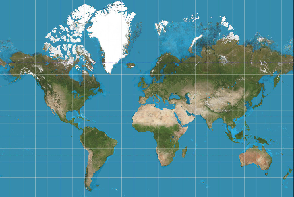
(Creative Commons)
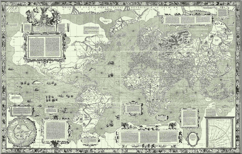
The Mercator projection has, for centuries, compressed Africa while dramatically enlarging Europe and the lands of the global north. The distortion is stark: Greenland can appear roughly comparable in size to Africa, although Africa is about 14 times larger. Campaigners argue that this familiar but misleading image has helped shape a global imagination in which the continent appears more peripheral and less consequential than it really is.
Maps, they say, do not simply show the world; they also influence how people understand power within it.
The new UN resolution promotes the Equal Earth projection, developed in 2018, which preserves the relative area of landmasses far more accurately than Mercator. No flat map can reproduce a spherical planet without some distortion, but Equal Earth avoids the dramatic enlargement of territories near the poles that has become one of Mercator’s defining features.
For African governments and campaigners, however, this is about considerably more than mathematical accuracy.
On behalf of the Group of African States, the representative of Togo said that the United Nations has progressively addressed imbalances inherited from the past: “Today, the issue of mapping as a cognitive tool deserves our collective attention,” he said, asking: “How do we represent the world? How do we teach it? How do generations learn to see our planet?”
The argument is not that Mercator drew his map as a conspiracy against Africa. Rather, a projection developed during the age of European expansion became embedded in a global education system shaped overwhelmingly by European power…
Togo’s foreign minister, Robert Dussey, has framed the initiative as part of a wider effort by African countries to challenge inherited assumptions about the continent and its place in the world. The resolution itself recognises that disproportionate maps can have lasting cognitive, educational, cultural, geopolitical, and socioeconomic effects, contributing to a diminished perception of Africa.
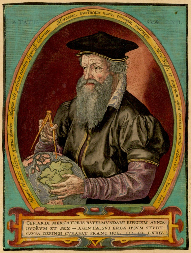
The Mercator projection was created in 1569 by the Flemish cartographer Gerardus Mercator as a navigational chart for European sailors. For maritime navigation, it remains technically useful, however its transformation from a navigational tool into a Eurocentric dominant image of the world has long troubled geographers and African scholars.
Critics describe that legacy as cartographic colonialism. The argument is not that Mercator drew his map as a conspiracy against Africa. Rather, a projection developed during the age of European expansion became embedded in a global education system shaped overwhelmingly by European power.
The consequences, supporters argue, have been subtle but persistent. The maps through which generations learned geography can reinforce assumptions about Africa’s economic, demographic, and geopolitical weight, while presenting European and northern countries as disproportionately dominant.
The UN resolution is non-binding, and the Mercator projection will not disappear overnight. But its symbolism is difficult to miss.
For Africa, the vote is about more than replacing one map with another. It is part of a broader struggle over who gets to define the world, and how that world is seen.
After centuries of being visually diminished, the UN vote suggests that Africa may finally be getting a more accurate place on the map – and in the global imagination.



 and then